

Projects & Maintenance
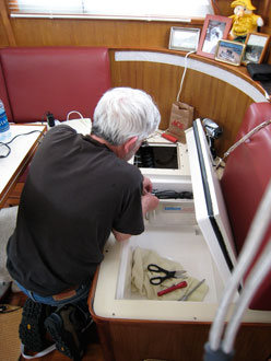
One of the projects we had to finish before we started our trip was to install a new holding plate refrigeration unit in an existing ice box that is built in under the settee in the main cabin. Jim is wiring it up here.
San Juan Islands
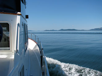
On our first day we cruised from Anacortes across Rosario Strait and through the San Juan Islands. Here we are making our way across San Juan Channel, headed for our first night's anchorage — Prevost Harbor on Stuart Island.
Socks
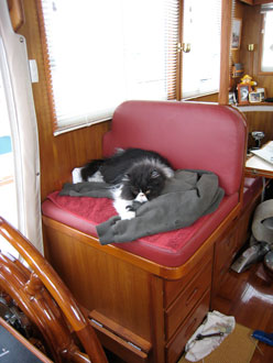
Camped out on the helm seat, our 12-year-old Persian cat is always in charge of overseeing our projects.


Prevost Harbor
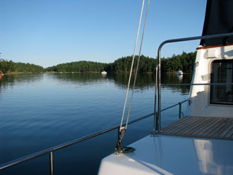
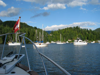
We anchored in one of the two secure anchorages on Stuart Island. Reid Harbor is on the south side and Prevost Harbor is on the north side. We picked Prevost because it is closer to the Canadian border, and is directly on our route to Nanaimo via Montague Harbour on Galiano Island where we plan to clear Canadian Customs. It was a wonderfully calm evening and night, one of the most peaceful we've spent in any anchorage.
Entering Canada
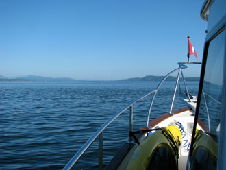
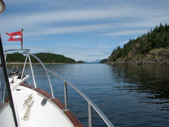
We left Prevost early the next morning, still enjoying sunny skies and light winds. Crossing Boundary Pass, we can see the Canadian Gulf Islands ahead of us.
Turn Point Lighthouse
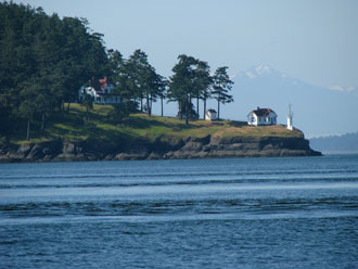
As we continue across Boundary Pass, we can look back and see the Turn Point Lighthouse on the north tip of Stuart Island. The monument just in front of the lighthouse is the official marker of the boundary between the United States and Canada at the junction of Boundary Pass and Haro Strait.
Busy Marine Traffic
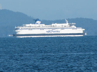
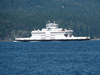
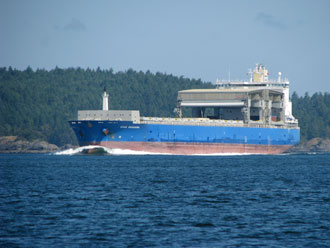
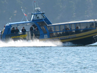
On our leg from Prevost Harbor to Montague Harbour, we transited Swanson Channel, which is also a main passage area for some of the BC Ferries and other marine traffic as it is a connector route between Vancouver and Sidney via Active Pass. We encountered two of the large BC ferries, two of the smaller inter-island ferries, two whale watching boats, and a container ship. It was a busy morning for marine traffic!
Montague Harbour Marina
With our NEXUS passes, we are able to call Canadian Customs and be interviewed on the cell phone for approval to enter Canada. Then we must go to an approved Customs site where the Canadian authorities have the option of letting us enter without an inspection, or to dispatch agents to inspect us before we can continue. As soon as we were in Canadian waters, Jim called and we were given conditional approval. We told the agent that we expected to be at Montague Harbour at noon. We were advised that we could anchor and wait if we got there early, but to call back if we were late. We got there at 11:30, anchored and had some lunch while we waited to see if Customs agents came to inspect us. No Customs boat came, so at 12:30 we pulled up our anchor and continued on our way to Nanaimo.
Nanaimo
We had an easy passage up Trincomali Channel to reach Dodd Narrows at the afternoon slack. We continued on to Nanaimo Harbor, and spent two nights at the Port of Nanaimo. It's a convenient place to provision and wait for a good weather window to cross Georgia Strait. From the Port's docks, it's an easy walk to a nearby shopping center which has a very complete Thrifty Foods, a BC Liquor agency, a London Drugs, and other stores. The Harbour Chandlery is also in easy walking distance, and has a large inventory of marine and fishing supplies. We were here in mid-June, and found the docks to be rather quiet.
Georgia Strait
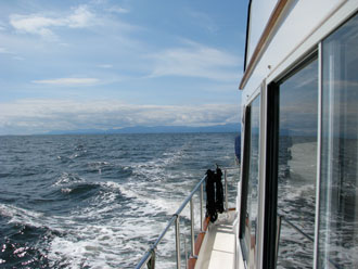
Our crossing of Georgia Strait was a little more boisterous than we had hoped. It takes us about four hours to cross Georgia Strait from Nanaimo, on Vancouver Island, to Pender Harbor, on the BC Sunshine Coast. It was calm when we left Nanaimo with a forecast of diminishing light SE winds, but soon after we left Departure Bay, we noticed a darker line of water and whitecaps ahead of us. We soon found ourselves in a strong NW wind which was kicking up 2-3 foot westerly swell and 1-2 foot chop, with over 20 miles to go! Salt water crashed over our bow and we bounced and rolled our way across. It was rough eough that Socks lost her breakfast, which always makes us feel bad. This photo is looking back at Vancouver Island after we were almost to Pender Harbor, and it sure doesn't look as bad as it was!
Pender Harbour
We found the anchorage in Garden Bay at Pender Harbour to be rather full the first night, predominately with sailboats. We counted 16 boats, more than we expected to find this early in the summer.
RVYC Yacht
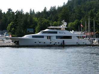
We anchored just in front of the Royal Vancouver Yacht Club outstation in Pender Harbour. After we were anchored, one of the larger yachts from the club tied up at the outside pier of their docks. It filled the space and was high enough that it blocked our BBX wi-fi signal, and we had to temporarily mount an external antenna on our flybridge in order to connect to the internet. It was a rather impressive yacht.
Pender Harbour, Day 2
The wind on Georgia Strait turned back to the SE and strengthened while we were in Pender Harbour, so we spent a second day there. Our next leg would be up Malaspina Strait to Desolation Sound, and the weather on Malaspina Strait can be just as difficult as on Georgia Strait, so we chose to wait for better conditions. Socks used the time to entertain us as she enjoyed a quiet day on the anchor.
Kayaking in Pender Harbor
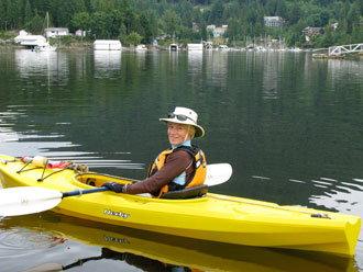
It stayed cloudy, but became calm on our second day in Pender Harbour. A great opportunity for Alice to take the kayak out for the first time this year.
Dragon Boat Practice
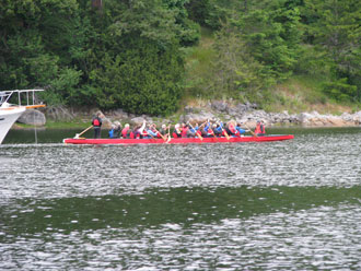
In the early evening at Pender Harbour we were entertained by a local group out practicing manouvers in a dragon boat. Fun to watch!
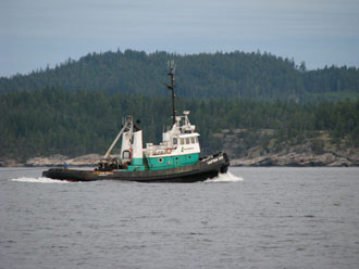
Tug in Agamemnon Channel
The weather was good the next morning, so we got underway early for our passage to Desolation Sound. It's about a 45-mile trip that can become difficult if the wind kicks up, so we try to leave early when the winds are typically lighter. As we left Pender Harbour, we spotted a tug with tow making her way from Georgia Strait into Agamemnon Sound.
Malaspina Strait from Pender Harbour to Desolation Sound
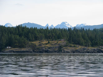
There aren't many good anchorages along the way, so we typically make this passage in one trip. It usually takes us about 6 or 7 hours. We had a calm day going north. The mountains on the BC mainland are visible in the distance and are still striking in mid-June with snow-covered tops.
M/V Chardonnay
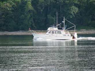
In Pender Harbour, we were anchored near another Island Gypsy 36, the M/V Chardonnay. She is a 1979 boat, whereas Phoenix is a 2001, but the boat is very similar to ours. We snapped this photo of the Chardonnay as she motored near us in Malaspina Strait on the way to Desolation Sound. They were on their way to SE Alaska this season.
The Copeland Islands
From Malaspina Strait, we entered Thulin Passage and made our way through the Copeland Islands, a Provincial Park where there are a few cozy anchorages. The mountains surrounding Desolation Sound are visible in the distance.
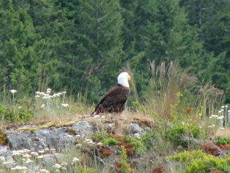
Bald Eagle
An eagle perched on the rocks just before we reached Desolation Sound greeted us and reminded us of how privileged we are to be able to see so many of these magnificent birds when we cruise along the BC coast.
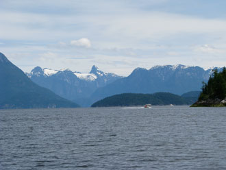
Desolation Sound
The snow-capped mountains on the BC mainland make the entry to Desolation Sound truly spectacular.
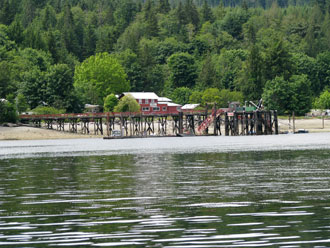
Squirrel Cove
Our anchorage for the night was in Squirrel Cove on Cortes Island. We passed by the Squirrel Cove dock and store on our way to the anchorage. The tide definitely was low!
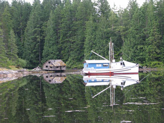
Squirrel Cove Bakery
For many years, an enterprising person opperated a bakery during the summer from the now derelict building on the shore in the center of the photo. Fresh-baked cinamon rolls in the morning were melt-in-your-mouth good! In recent years, occasionally we have found baked goods offered from the blue float house just behind the moored fish boat. We didn't stay long enough to see whether it would be operational this year.
Log on Anchor!
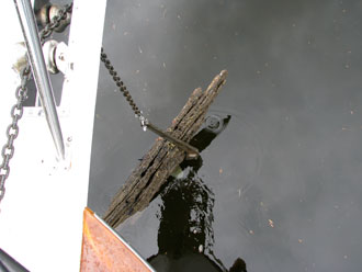
When we pulled up our anchor the next morning, we found a small log in the fluke of our anchor! Squirrel Cove's history includes previous logging operations, and there still are many sunken logs on the bottom of the anchorage.
Frederick Arm
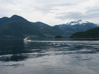
We continued north through Lewis Channel to Yaculta, Gillard, and Dent Rapids. We timed our passage close to slack tide and had an easy trip through. As we exited Dent Rapids, we had a spectacular view of Frederick Arm, snow-covered and striking even with the morning cloud cover.
Blind Channel Resort
We spent the next night moored at Blind Channel Resort, among a handfull of other boats. There were strong NW winds blowing in Johnstone Strait, and our boat rolled uncomfortably all evening and into the night, as the swell wrapped around West Thurlow Island and continued up Mayne Passage, working against the strong current...a reminder that this isn't such a good stop when there are strong winds on Johnstone! Our weather adventure was capped off by a thunderstorm later that night. We had a 0630 departure the next morning in order to transit Greene Point Rapids at slack, and we were happy to leave!
Blind Channel Fuel Dock
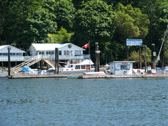
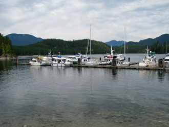
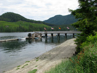
This is a view of the other end of the moorage dock at Blind Channel. The flags mark the walkway from the dock to the shoreside facilities, and there is fuel available at the dock at the base of the ramp.
Blind Channel Store and Restaurant
Blind Channel is a good stop. The store usually has a good inventory of fresh produce and dairy goods as well as a selection of other groceries. They have good water, a post office and liquor store, and also showers and laundry services. Their restaurant is good. They have free wi-fi at the docks, but our reception was marginal so we weren't able to do any e-mail. There is no cell phone coverage in this area.